Hurricane of 1939 Cabo San Lucas, El Ciclon de 1939
Major hurricane of 1939 caused much damage to Cabo San Lucas.

Source: www.youtube.com/watch?v=wh7CqL1qNiU
Museo de Cabo San Lucas – YouTube cannel
www.youtube.com/channel/UCQ9Tv4zKawpqa0IgJgMZMtg

Historic Images and Photographs of Cabo San Lucas, The Tourist Corridor & San Jose del Cabo, Los Cabos, Baja California Sur.
Major hurricane of 1939 caused much damage to Cabo San Lucas.
Source: www.youtube.com/watch?v=wh7CqL1qNiU
Museo de Cabo San Lucas – YouTube cannel
www.youtube.com/channel/UCQ9Tv4zKawpqa0IgJgMZMtg

Photo of Cabo San Lucas Bay and Medano Beach c1970s. Photo courtesy Latitude 22, The Roadhouse
www.loscabosguide.com/latitude-22-roadhouse/
www.facebook.com/latitude22roadhouse/
Latitude 22 The Road House
Km. 4.5 Transpeninsular Highway #1, next to COSTCO, behind the power plant, Cabo San Lucas, Baja California Sur, Mexico.
Open daily 8 a.m. to 11 p.m. – Kitchen closes at 10 pm. – Closed Tuesdays, We accept Visa & MasterCard – Phone / Fax: (624) 143-1516
Here is an excerpt of his interview with CaboVillas where he shares some memories and historic photos of these trips dating back to the 1970’s and 1980’s. Most resorts were located on the Sea of Cortez coast and at the tip of the peninsula. Therefore, most of their clientele arrived by boat and private aircraft.
June 14, 2016


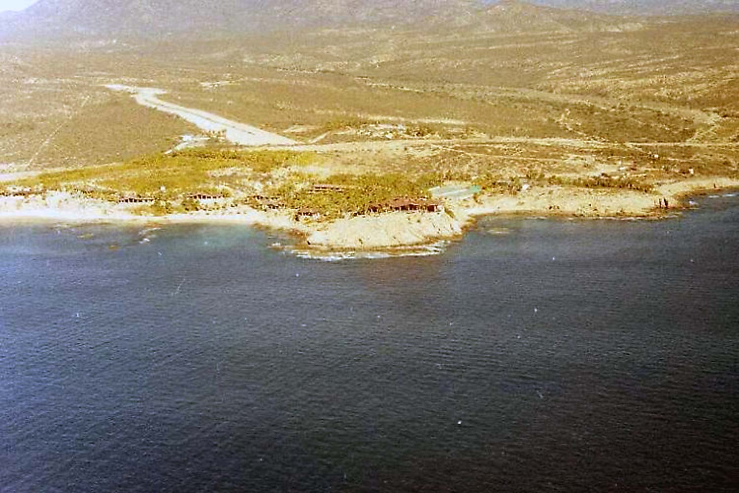
Visit the CaboVillas site to see more images and read the story by Mr. Peterman about travel in Baja California Sur in the 1970s and 1980s.
www.cabovillas.com/blog/flying-to-baja-in-the-1970s-and-1980s/

Road Sign near Cabo showing the population of 1,719, circa 1960’s, Cabo San Lucas, Los Cabos, Baja California Sur, Mexico.
Above photo courtesy of Mike at Latitude 22 Roadhouse.
Local website cabosanlucas.net reports that in 1950 the local population was 548 inhabitants. In 1950 the local population was 548 inhabitants, mostly fishermen and the Compañía de Productos Marinos S.A. tuna cannery workers, at that same time San José del Cabo had less than 2,000 inhabitants.